11. 03. 2023
Broadly, geographic information systems (GIS) handle the creation, management, analysis, and mapping of diverse datasets. By linking data to maps, GIS seamlessly integrates location data (depicting spatial positions) with various descriptive information (depicting characteristics…
Read More
10. 31. 2023
Location intelligence, also known as spatial intelligence or geospatial intelligence, is all about understanding the world through location-based data. Imagine you have data that's not just numbers and text but also linked to specific…
Read More
10. 18. 2023
Unlocking Operational Efficiency and Growth with iGDT Digital Twin Platform. In today’s dynamic business landscape, the ability to adapt and innovate is paramount. Pilot Company, a leading player in the convenience store industry, understands this…
Read More
09. 25. 2023
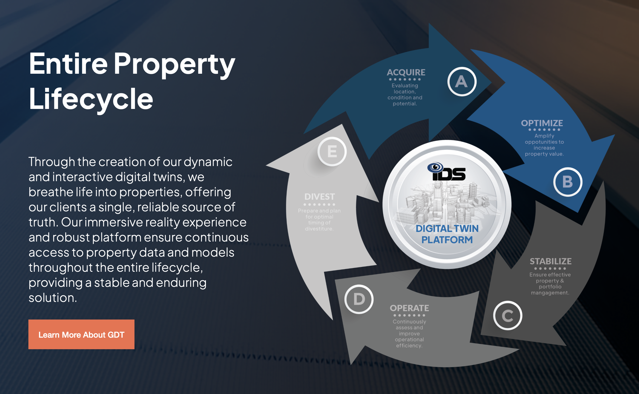
Commercial Real Estate (CRE) investment and management is undergoing a technological transformation. At the heart of it are digital twins. Digital replicas of physical properties are revolutionizing the way companies navigate the CRE investment lifecycle,…
Read More
08. 09. 2022
Travel costs are higher than they have been in years. Domestic airfare this summer is up 34% compared to summer 2019. International airfare is up 2.5%. There are a couple reasons for this. Travel Cost…
Read More
06. 15. 2022
As we head from Q2 into Q3, now is the time for many to begin planning and finalizing budgets for the next year. This includes facilities managers assessing property conditions to see if renovations are…
Read More
04. 19. 2022
Data visualization platforms are highly useful tools. They help facilities managers and those in real estate and construction view information from anywhere in the world. They help streamline and automate otherwise tedious tasks. Most importantly,…
Read More
03. 09. 2022
There are many ways facilities managers can reduce costs. Knowing how to identify and implement these strategies is easier said than done. Here are five ways for facilities managers to reduce day-to-day and long-term costs.…
Read More
01. 06. 2022
There are many factors that affect decision-making for facilities managers and project managers in construction and real estate. In addition to budget, these roles must also focus on timeline, resource usage, and steps that will…
Read More
12. 02. 2021
The modern-day duties of facilities managers have grown increasingly complex, as key decision-makers in retail, hospitality, and beyond strive to manage dozens or even hundreds of locations throughout the world. For many, doing so effectively…
Read More
