WHAT IS LOCATION INTELLIGENCE?
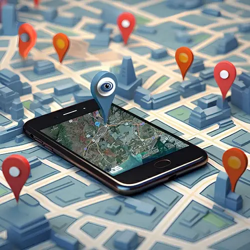
Location intelligence, also known as spatial intelligence or geospatial intelligence, is all about understanding the world through location-based data. Imagine you have data that's not just numbers and text but also linked to specific places and spaces. Location intelligence takes this data and uses it to make sense of things.
It relies on special software called Geographic Information Systems (GIS) that helps collect, manage, and visualize this location-based data. Think of it as your map app but on steroids. It helps you see where things are and what's happening in those places.
With location intelligence, you can spot patterns, trends, and connections in the data. It's like solving a puzzle where the pieces are places and locations. This kind of analysis can help in various fields, like figuring out where to put a new store, tracking the movement of delivery trucks, or even monitoring changes in the environment.
And, of course, there are maps! Maps are a big part of location intelligence. They're like visual stories that help you understand data better. You've probably used maps for directions, but they can do much more, like showing where your customers are or helping plan the layout or remodel of a store.
In business, location intelligence helps with decisions. For example, it can tell a company where to open a new branch, how to deliver products more efficiently, or who their target customers are in a specific area. So, it's not just about maps; it's about making smarter choices.
Plus, location intelligence plays a role in things like protecting the environment, planning cities, and even tracking disease outbreaks. It's like having a superpower that lets you see the world through a geographic lens.
So, in a nutshell, location intelligence is all about understanding the importance of location in data and using that understanding to make better decisions, whether it's for business, the environment, or just finding your way around.