Access High-Quality Plans from Anywhere

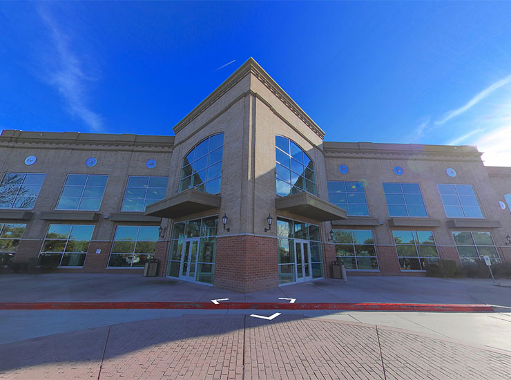
Our team of Certified Imagery Technicians specializes in crafting exterior site plans, interior floor plans, reflective ceiling plans, and elevation plans for you to access and share with the necessary stakeholders to increase visibility while saving time and resources. In addition to verifying, updating, and creating these high-quality assets, the IDS Viewer’s intuitive layer function also allows you to add existing floor plans or 2D drawings to any site, serving as an invaluable tool for CAD/BIM and drafting at any phase of the project life cycle. Share assets and plans with partners for seamless collaboration in real-time. Achieve a full-scale digital view of your sites to help make the right decisions to grow your business with our CAD/BIM services.

Our CAD/BIM Services

Interior or Exterior
2D & 3D
Watch
Interior or Exterior Elevations
Watch
Landscape Plans
Watch
Topographical Map
Watch
Accuracy Reporting
Watch

Why Choose IDS for CAD/BIM Services?

Extensive Field Network

Save time and money by leveraging our nationwide network of Certified Imagery Technicians to create detailed, high-quality plans for all of your sites.

Better Decision-Making

Gain a new perspective of your facilities from anywhere in the world to help inform more efficient and precise decision-making.

Scalability

Whether you're a regional business with a few locations or a nationwide brand with hundreds of facilities, we are capable of scaling our offering to meet your needs.

Time Savings

Our professional field network specializes in efficient rollout and turnaround, helping capture and share actionable imagery all on your desired timeline.

Easy Integration

Document and manage historical plans and add existing floor plans or 2D drawings to any site.

Full-Scale View

Capture and access immersive, high-quality plans to experience a detailed, high-definition view of all of your facilities and assets.

Stories

Real Estate
Construction
Facility Management

Real Estate

Our survey solution creates immersive 360° aerial imagery, terrestrial scans, and 3D building models to conduct all projects for real estate, architects, marketing, and sales with as-built conditions, 3D content, and virtual site visits.

  • 4 million square feet analyzed
  • 6,794 images produced
  • Published in 5 days

Construction

Help retailers visualize their remodel initiatives from a centralized location to make critical business decisions. Leverage up-to-date visual and dimensional information for asset documentation, site maintenance, remodel projects, visual merchandising, and marketing.

  • 634 sites completed
  • 4 months from start to finish
  • 80% ROI generated

Facility Management

Access clear visual and dimensional data for size, layout, and quality control. Achieve reduced timelines for parking lot inspections, assessments, and visibility, as well as streamlined communications to onsite vendors for construction and space management details.